Backpacking in the Grand Canyon
Lipan Point to Grandview taking the Tanner, Escalante, Tonto, and Grandview Trails
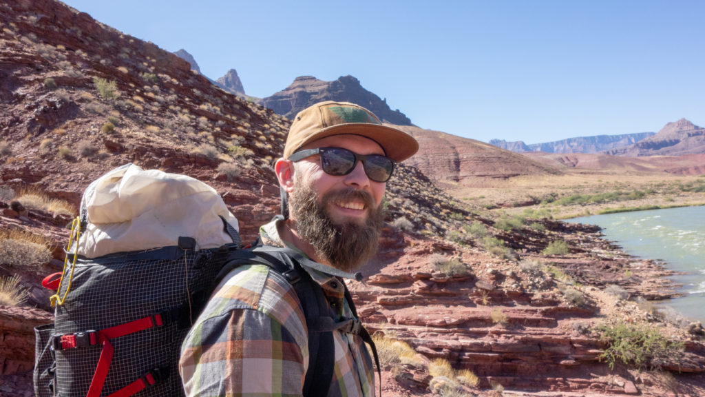
In early October 2019 my long time friend and backpacking partner Greg, my son Chris, and I (Robin) took a five day, four night backpacking adventure into the Grand Canyon.
We started from at Lipan Point and took the Tanner Trail to the Colorado. Then we followed the Escalante Trail to Hance Rapids. From there we took the Tonto trail to Horseshoe Mesa and finally the Grandview Trail back up to the south rim.
Greg and I have taken many backcountry hiking trips but this was our first in the Grand Canyon. Chris has a degree in outdoor adventure education and has led several groups of college students on this route. That turned out to be a very good thing for Greg and me.
Following is a trip diary with pictures.
Getting Started - Lipan Point and the Tanner Trailhead, Grand Canyon South Rim
It’s about 9:30 on a beautiful day. We are rested and ready to go. (Mouse over pictures for more information. Click on picture for full size.)
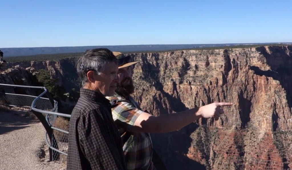
Video of Chris explaining our route

Down the Tanner Trail to Tanner Rapids
The Tanner Trail is about 8 miles long running from Lipan Point on the south rim to the Tanner Rapids on the Colorado. The trail drops roughly 5,000 feet. It is considered an unmaintained trail. The guidebook says it is “recommended only for seasoned Grand Canyon hikers.” I probably should have paid more attention to that phrase. Much of the trail is very steep but it gets easier near the river. There is no water until you get to the Colorado.
Camping at Tanner Rapids
After our day-long downhill hike we arrived at Tanner Rapids and a beautiful sandy campsite. Our aching feet quickly went into the cold Colorado.
Interesting geology at Tanner Rapids
The geology of the Grand Canyon is fascinating and complex. A lot happened in the more than four billion years of geologic history that is visible from the rim to the canyon floor. At Tanner Rapids there is a major fault which can be seen clearly if you know to look. These pictures show that faults and some others nearby. Mouse over the pictures for more information.
Easy day 2 taking the Escalante Trail towards Unkar Creek Rapids
On our 2nd day we took it easy and hiked just three miles down the Escalante Trail following the river to another great campsite on the Colorado. We got some extra rest since we had a couple tough days ahead. Went swimming, very briefly, in the river.
Day 3 - Can we make it to Hance Rapids?
The goal for our third day was to make it to Hance Rapids. We continued on the Escalante trail and knew it would be a long day with technical sections including the Papago wall and the Papago slide. We were up before dawn and on the trail by about 7:30.
First part of the day was easy. It was clear and cool. The trail was easy to follow. The scenery was spectacular and like hiking in another world.
Hiking got more difficult as the day went on as we went up one side of a slot canyon, dropped down into the canyon, and then hiked back out to the river. The beauty of this slot canyon can’t be captured in pictures. Greg remarked that he expected to turn the corner and see the ruins at Petra.
After leaving the canyon the trail followed the river toward Hance Rapids. It was challenging and slow going. The trail was rocky and in many places there was no trail, just lots of boulders near the river. Chris did the way-finding which was a great help.
We made it to the Papago wall a little before five. It was perhaps a bit more than a mile more to the campsite at Hance Rapids. I was exhausted and questioned my ability to safely climb the Papago wall (and go down the other side) so late in the day. Fortunately there was a nice sand beach directly in front of the wall. We stayed there for the night.
4th Day - Papago wall to Hance Rapids. Then Tonto Trail to Hance Creek campsite.
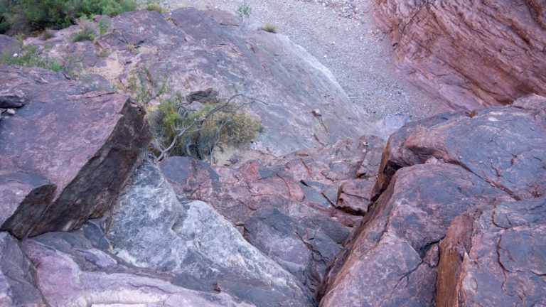
Another big day, about 7 miles. We started going up the Papago Wall, down the other side (Papago slide), and a mile hike to Hance Rapids.
Climbing the Papago wall got the adrenaline flowing early in the day. See the separate section below on the climb.
At Hance Rapids we made some mid-course adjustments. The pace for Greg and me on the difficult parts of the trail was slower than we planned. We decided to camp at Hance Creek campsite that night instead of Horseshoe Mesa. That meant another 6 miles to the campsite rather than 8 miles if we went to Horseshoe Mesa. The downside is that it would leave over 4,000 feet of climbing for the last day.
There is no reliable water at the Hance Creek campsite. That meant packing all the water we needed for the rest of the day hiking, dinner and breakfast, and the first few hours of the following day. Chris took the heaviest load by far and probably carried 20 lbs of water.
That night at the campsite was very windy. Chris warned us he had seen tents in the Grand Canyon blown 50 feet in the air. We staked ours down well then added rocks. Dust was was on everything. Around midnight the wind died down and we all could get to sleep.
We were fortunate that, contrary to the advice from guidebooks and the park rangers, there was water in Hance Creek. We were happy to rehydrate without worrying about whether our water would last until noon the next day.
Dawn on Day 4 - morning coffee
Chris scouting the Papago wall
Greg and Chris at Papago wall
View from top of Papago wall
Solo hiker heading toward the Papago wall as we headed the other direction
Coming down the Papago slide
Greg stocking up on water at Hance Rapids
Campsite at Hance Creek. We kept the rain fly off every night so we could see the stars.
Chris guiding us up the Papago wall.
Both Greg and I had an uneasy sleep knowing the Papago wall was waiting for us in the morning. For the young and agile, its may not be that daunting. For the older and less agile (Greg and I both have balance problems due to hearing loss), its challenging and a bit scary.
Chris came to our rescue. He scouted the route, put in a rope handhold at the top of the wall, ferried our packs, and then coached us up. He got through safe and sound. Chris joked that it was a good return on the college investment in adventure education. I agree.
The video below shows Chris carrying one of the packs up the wall. He went up and down the wall about five times that morning.

Last day - Hance Creek campsite to Horseshoe Mesa to Grandview
The last day. Up early and off. We had over 4,000 feet to climb.
There were several people staying at the campsite so we occasionally had company during our hike out. They would catch us when we stopped then we would move on while they rested.
There is an abandoned copper mine between our campsite and Horseshoe Mesa. You can even walk inside for 30 feet or so. It is hard to imagine the work to extract the ore and get it to the rim. Imagining the miners life (and the mules) put our pain in perspective.
At Cedar Mesa we picked up the Grandview trail and the last leg of the trip. There are not many pictures for this part because, simply, it took all my concentration just to keep hiking and putting one foot in front of the other. The trail was very steep and felt relentless. But well developed since it had at one time been used by mules to take out copper ore.
The last mile to the top was the traditional psychological strain of false summits. Just when you thought you were at the rim you find you had more to go. As we approached the rim, several tourists at the overlook cheered us on and clapped.
It is hard to describe the feeling of reaching the rim. Greg and I were exhausted but elated. We will cherish the unforgettable experience and the magic of the Grand Canyon.
Made it!!
Chris
We were very fortunate to have my son Chris on this hike. This is a trail Greg and I should not have tried on our own. That is humbling to admit since we have done many challenging trips over the last decade. Chris, with a degree in adventure education, years working at Outward Bound, previously on the faculty at Prescott College, and having led several Prescott College freshman trips on this loop, was the perfect guide. He got us through safely and we had so much fun in the process. Our three spouses are still thanking him.

Why I hike
When describing a backpacking trip to friends I often see in their expression the question “why do you do this?” Why endure all the pain and deprivation that backpacking entails. It is a good question. During particularly painful moments I ask myself the same question. But something keeps me coming back. I find myself a couple days after returning from a backpacking trip, still tired and sore, starting to plan the next hiking adventure.
Being alone in alone in nature, away from crowds and modern conveniences, provides a perspective I cherish. I realize how small I am. I feel the timelessness and the endless cycles of life and see clearly my time is a momentary flash. There is the stunning and sometime harsh beauty nature provides. In that magical and mystical space, all my cares and worries fade and become trivial. It’s just being and survival.
There is the heightened feeling of peace in simply being alive. Life is stripped to the basics. You are focused on getting from one place to another safely, not getting lost, drinking and eating, finding shelter, and sleeping. It is what humans have done since our beginning.
Back country hiking helps develop mental and psychological skills so valuable in other parts of my life. After a trip I always feel more confident and capable of peace and happiness despite the “slings and arrows of outrageous fortune.”
Friendship with hiking companions is another reason I hike. The depth and intimacy of conversations is greater once the modern distractions are removed. There is more space to talk about what matters. Hiking brings people together. We all face the same challenges. Everyone struggles for breath on the steep climbs. We all get cold and tired. We rely only on ourselves and our companions to get through. What one does in the outside world doesn’t matter when you are on the trail.
Advice for hikers on this route in the Grand Canyon
Greg and I have taken backpacking trips for about ten years and have done significant hikes on the John Muir Trail (including Mt. Whitney), Olympic National Park, the Appalachian Trail, and the Absaroka National Forest in Montana. So we are familiar with aching legs, 5,000 foot elevation gains, and burning lungs. We are both older (60s and 70s) but fit. Greg runs several marathons each year.
This was without doubt the most physically demanding hike we have taken. The trails on this route are rough and not maintained. In some places you must do your own way finding. There are a couple technical ascents and descents that are challenging if you are use to normal back country trips.
A couple things I learned that may be of help to others like us.
- Water. The rangers advise 5 liters per person per day to drink. I have never used more than 2 liters on other trips. We used 3 liters each day on this trip and it was barely enough. I would have felt better with 4 liters.
- A guide. I would not do this route without a guide unless you are experienced in the Grand Canyon and know what to expect and how to deal with it. There were just too many opportunities to make mistakes even if you are experienced in other hiking environments. We encountered a hiking group going up Tanner that had come down a unimproved route further east. They said they were two days behind schedule due to the unexpected difficulty.
- Silt in the Colorado. I have always used a water filter system (Katydyne) which has performed flawlessly for many hikes. The silt that can show up in the Colorado dramatically shortens the life of filter systems. We made it through but ended up boiling all our cooking water to make our filter last.
- Heat. We went in early October. It was still 90 degrees down in the canyon. I recall the rule of thumb is that you gain about 3 degrees for every thousand feet you descend. So the temperatures on the rim in October may feel like fall but its a different story at the canyon bottom.